Lucavsala island, Riga

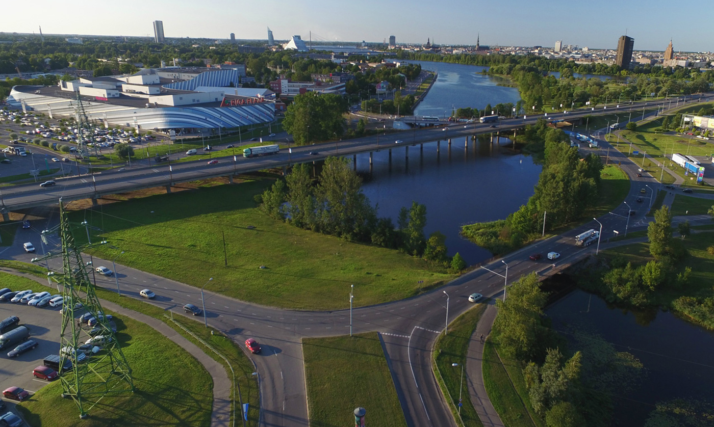
The focus area – the stormwater solution location in Lucavsala currently is an empty land plot with a multi-level transport infrastructure on it.
Site area: ~154 ha
Watershed area: K – 31: 154 ha
Inhabitants: 79 (2018)
Spatial planning context:
Lucavsala island is located near the West bank of the Daugava river, close to the city centre. Despite its favourable location, currently large territories of this island are not built-up due to critically high groundwater levels and non-existing or inappropriate water drainage systems, as well as due to hydro-geological conditions that are considered as adverse to construction works.
Site-specific stormwater challenge:
In the focus area stormwaters are collected from the city’s arterial multi-level streets infrastructure, as well as from the neighbouring industrial areas and parking lots, thus stormwaters are heavily contaminated by diesel remains, oils, dirt and microplastics.
Site-specific stormwater solution:
In the pilot area a partly centralised stormwater drainage system exists: magistral stormwater collectors near the built multi-level transport infrastructure and some nature territories serving as nature-based on-site solutions. Part of green nature territories on the islands are not drained. During the Project, a stormwater treatment unit was constructed at one discharge point of the magistral stormwater collector (manhole and/or outlet) equipped with real-time sensors for monitoring of the stormwater quality.
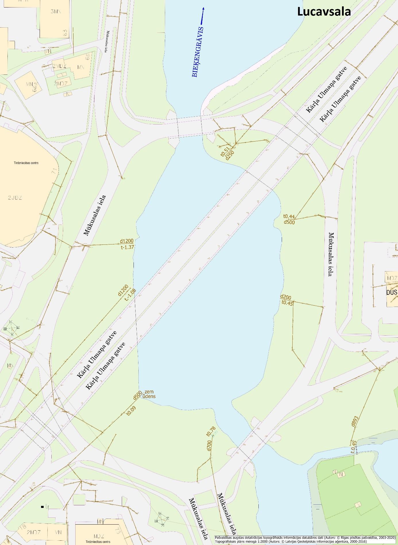
Location of stormwater solution in the Lucavsala island:

Map No. 1: Location of stormwater solution in the Lucavsala island focus area


